


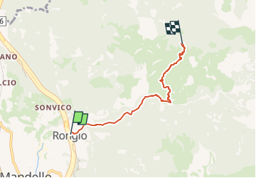

4.6 km | 11.9 km-effort

Tous les sentiers balisés d’Europe GUIDE+


FREE GPS app for hiking
 SityTrail
IGN / Geographical institutes
SityTrail World
The world is yours!
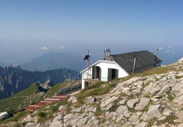
Trail On foot of 4.4 km to be discovered at Lombardy, Lecco, Mandello del Lario. This trail is proposed by SityTrail - itinéraires balisés pédestres.
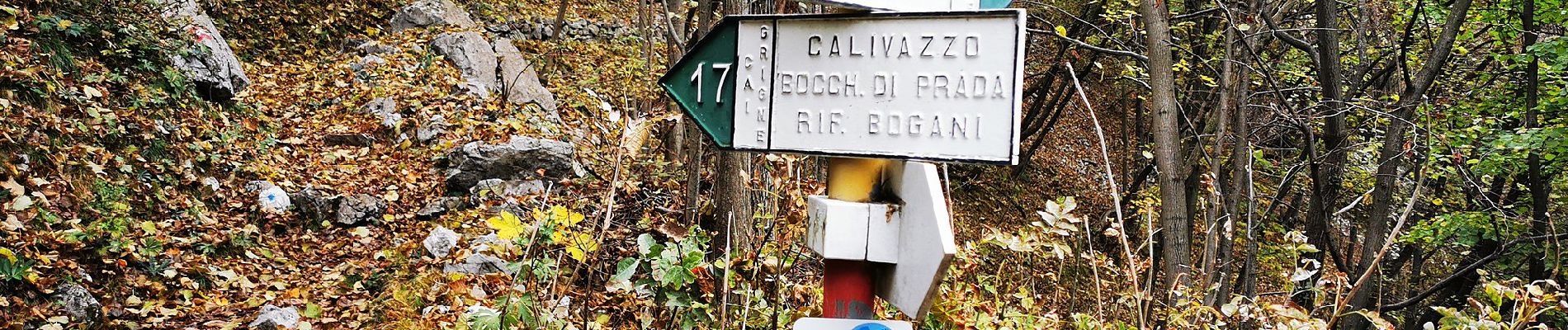
Trail created by Club Alpino Italiano Grigne.
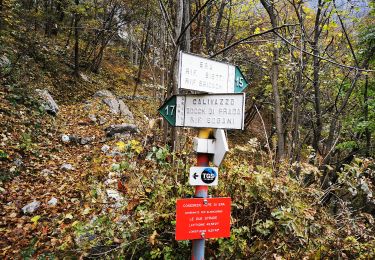
Rongio mt. 409 - La Gardata mt 1040 - Alpe Cetra mt 1093; F (facile); tempo di percorrenza: ore 2.15-2.45
Symbol: red-white-red vertical bars


On foot
On foot
On foot
On foot
On foot
On foot

On foot

On foot

On foot